|
Khatib & Alami (K&A) sponsors ESRI Middle East
and North Africa User Conference 2016 and shares “Highlights on
National and Local Government Geospatial Implementations in MEA”.
The Middle East and North African geospatial communities came
together 8-10 November2016 at the Kempinski Hotel Ishtar, Dead Sea,
Jordan, to learn, understand, and share their GIS technology
experiences at this year’s ESRI Middle East and North Africa User
Conference 2016. The conference offered more than 650 attendees a
wide range of industry related and technical sessions, and included
plenary sessions, technical seminars, user presentations, and an
exhibition.
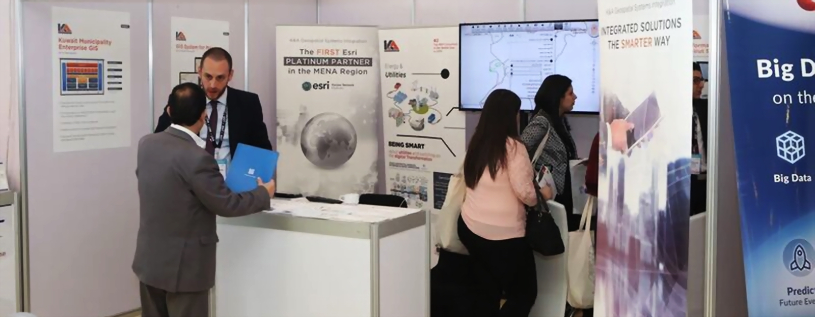
Given our reputation for innovative GIS solutions, it was only
natural that K&A was a Gold sponsor, had a booth, and that our
Senior Manager of Government and Commercial MENA, Dr. Mohamed Misbah,
presented “Highlights on National and Local Government Geospatial
Implementations in MEA” during the plenary sessions.
During the event, GIS solutions from the MENA region were celebrated
across industries and it was clear that Web GIS, Big Data, and
Internet of Things technologies are becoming increasingly prevalent
with more organizations awakening to the value collaborative GIS
brings. Esri president Mr. Jack Dangermond presented Esri's vision
for how GIS is becoming a fundamental language for understanding and
managing our world. Other highlights included the total unveiling of
ArcGIS 10.5 and the new ESRI insights for ArcGIS and Geoanalytics. |